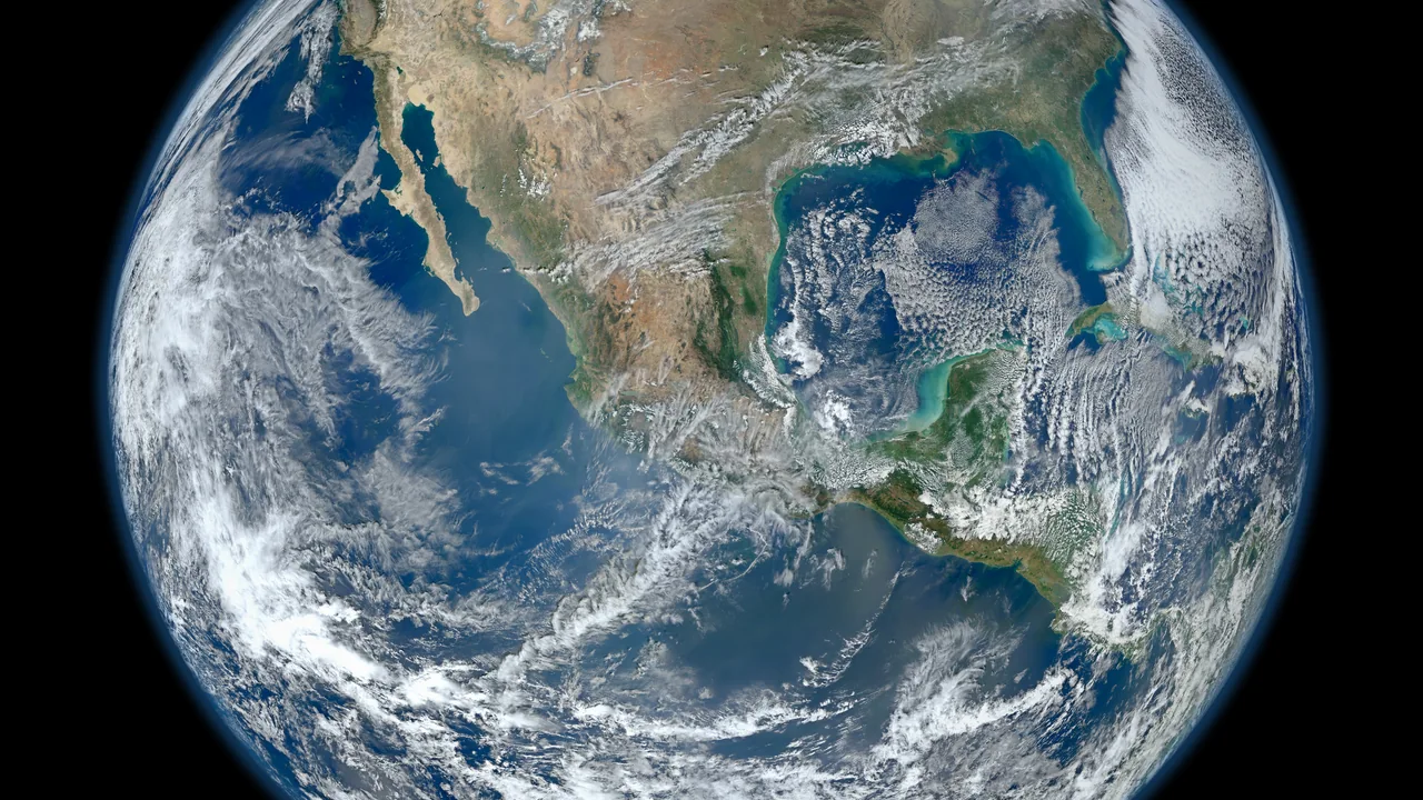
Google Research described MAPL-EMIT on September 1, 2026, followed by a public update on September 9. Developed with NASA’s Jet Propulsion Laboratory, the system uses EMIT satellite measurements to detect methane plumes and estimate their location. The team released data, model resources and inference tools for further research.
The researchers report improved sensitivity in their evaluation and explicitly discuss false positives, confidence scores and filtering. This is evidence about an analytical method, not a finding that a particular Canadian facility has a confirmed leak. It also does not show that any detected emissions have been reduced.
Keep the measurement and the inference separate
The research combines spectral information with spatial context to identify possible plumes against complicated terrain. Its outputs carry uncertainty. A responsible user should read the methods and dataset documentation before treating a point on a map as a verified source, especially when several potential sources occupy the same area.
For a Canadian research project, begin by checking actual observation coverage, dates and conditions. Do not assume that a global dataset observes every place equally often or can detect every emission event. An absence in the output is not automatically proof that nothing was emitted; it may reflect observation or detection limitations.
Related sources: Google Research MAPL-EMIT methods ↗ · Google MAPL-EMIT public update ↗
Use flags to direct further work
A useful workflow would preserve the source scene, processing version and confidence information for each candidate. Compare it with independent observations and have an appropriately qualified reviewer assess whether an investigation is warranted. Avoid naming a facility publicly from an ambiguous model result alone.
Track repeated observations as separate evidence rather than merging them into an undated claim. If a candidate disappears in a later scene, investigate whether conditions changed before concluding that a leak was fixed. The step from a detected signal to an attributed source, then to a documented intervention, needs a record at every stage.
Open tools make scrutiny possible
Researchers can inspect shared resources, test different confidence thresholds and document which choices change the result. That can be more valuable than a polished map without a reproducible method. Keep licensing and dataset usage terms with a project so collaborators know which material can be redistributed.
Our analysis is that the release offers a useful starting point for environmental investigation, especially where teams can combine model outputs with local expertise. The meaningful outcome is a validated observation and, where appropriate, a confirmed response. Counting more detections by itself cannot establish climate benefit or a complete emissions inventory.
Sources and editorial method
We use the linked original statements and reports to distinguish documented facts from our analysis. Company announcements describe their authors’ plans and claims; they are not independent verification of future outcomes. This article is dated and will be revised if material evidence changes. Read our editorial standards and corrections process.
- Google Research MAPL-EMIT methods ↗ — Original research team’s September 1, 2026 methods overview, links to paper/data/code and false-positive discussion.
- Google MAPL-EMIT public update ↗ — September 9, 2026 summary identifies the NASA JPL collaboration and available research resources.